Old Survey Instruments

Old Survey InstrumentsOld Survey InstrumentsOld Survey Instruments
  • Home
  • Theodolite Gallery
  • Level Gallery
  • Mounted Compass Gallery
  • Hand Compass Gallery
  • Drafting Gallery
  • Clino Gallery
  • Survey Cross Gallery
  • Misc Gallery
  • Tripods Gallery
  • Chains Gallery
  • More
    • Home
    • Theodolite Gallery
    • Level Gallery
    • Mounted Compass Gallery
    • Hand Compass Gallery
    • Drafting Gallery
    • Clino Gallery
    • Survey Cross Gallery
    • Misc Gallery
    • Tripods Gallery
    • Chains Gallery

Old Survey Instruments

Old Survey InstrumentsOld Survey InstrumentsOld Survey Instruments
  • Home
  • Theodolite Gallery
  • Level Gallery
  • Mounted Compass Gallery
  • Hand Compass Gallery
  • Drafting Gallery
  • Clino Gallery
  • Survey Cross Gallery
  • Misc Gallery
  • Tripods Gallery
  • Chains Gallery

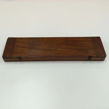
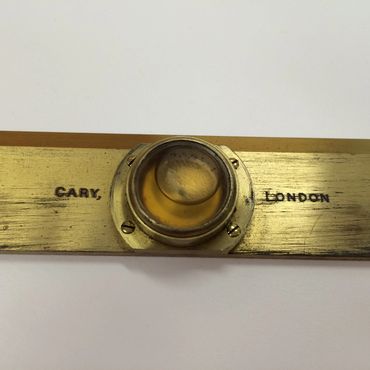
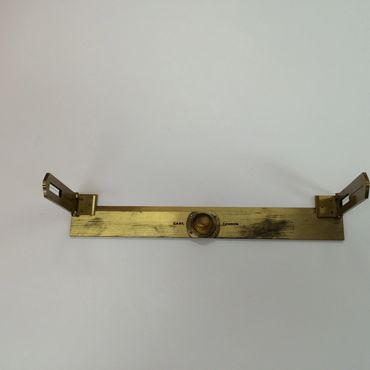
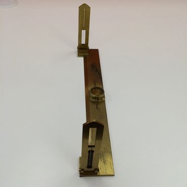
 Cary, London Alidade
The term alidade can refer to the sighting mechanism of any instrument used for surveying . This item was used with a plane table for topographical work—that is, for mapping the surface features of the earth. Early alidades were simple bars with open sights at either end. Telescopic alidades came into use in Europe in the early 1800s, and were soon introduced to American practice. In 1865 the United States Coast Survey stated that the plane table with telescopic alidade was the “principal instrument for mapping the topographical features of the country,” and noted that it was “universally recognized as the most efficient and accurate means for that purpose.”  (Courtesy of Smithsonian National Museum of American History)

Extensive research on the internet suggests that this alidade would date to prior 1870.